6.7 M Earthquake in Manipur (North East India), Myanmar, Nepal (Eastern Region) and Bangladesh
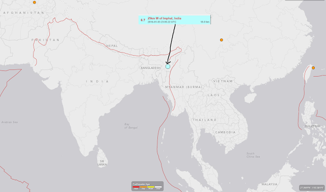
A 6.7 Magnitude earthquake rocked Northeast India, near its borders with Myanmar and Bangladesh and the tremers were felt in Eastern Nepal and along the line of Greater Nepal too. The quake hit at 04:35 local time (23:05 GMT Sunday) about 29km (18 miles) northwest of Imphal, the capital of Manipur state, according to the US Geological Survey (USGS). The region around the epi-centre felt strong tremors. But others also says the earthquake was originally reported to have measured 6.8 magnitude. The tremor cracked walls and a newly built six-story building in Imphal collapsed, police said. Other buildings were also reported to have been damaged.
I just made this for your easy location of the earthquake epicentre and places it affected.
 |
| Earthquake in Manipur, India, Nepal, Manmyar, Bangladesh |
The red/brown line in the above map shows the the area enclosed by recent Manipur’s earthquake.
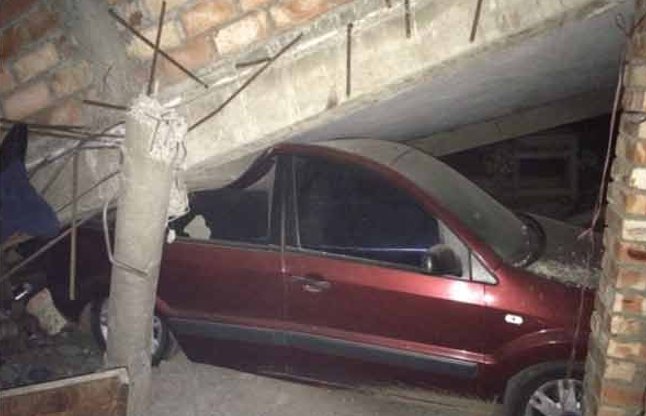
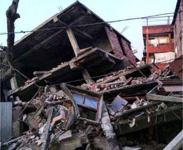
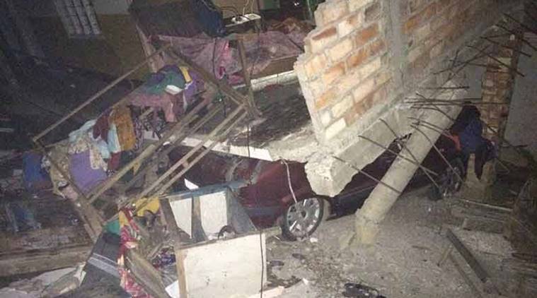
Here are some of the pictures from the sites.
 |
| A roof collapsed over the car |
 |
| A house in Manipur, India gets rocked badly by Earthuake |
 |
| A car stucked or hit by destroyed house |
Last time, I felt the Gorkha (Nepal) Earthquake of April and May Earthquake too. Please guys be safe and help to whomever needed.


Recent Comments